
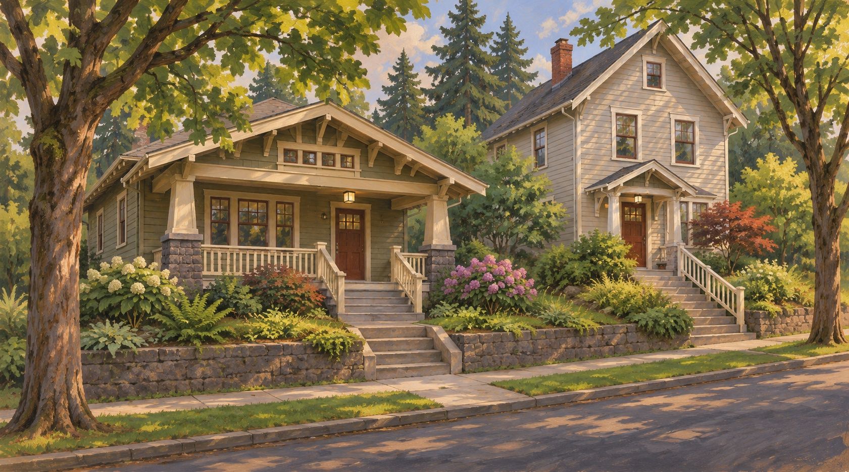
Illustrative streetscapes inspired by the Tabor area; no specific property or block is depicted.
Mt. Tabor, Portland: Three Neighborhoods Around the Park
A home near Mt. Tabor can mean a hillside porch above the sidewalk, a North Tabor cottage near Glisan, or a South Tabor house between Division and Powell. This guide brings Mount Tabor, North Tabor and South Tabor together so you can compare them. They are three separate Portland neighborhoods, each with its own boundaries and housing considerations; the park is a distinct place within that larger picture.
I’m Nathan Stancil, a broker with Real Broker LLC. This guide connects the Tabor area’s geography with the property differences worth understanding before a purchase or sale.
One familiar name, three official neighborhoods
Portland’s neighborhood boundary layer identifies Mt. Tabor, North Tabor and South Tabor separately. Here, “Mt. Tabor” is the guide’s umbrella title. North and South Tabor are neighboring areas with their own identities. A listing’s neighborhood label, a ZIP code and the city’s boundary can describe different things.
The volcanic butte is the common reference point. West of it, the street grid climbs toward the park; around the slopes, streets and stairs respond to the terrain. Farther north, I‑84 and Glisan help define the setting. South of Division, the pattern returns to residential blocks between larger perimeter streets.
The park grew around a waterworks
The first open reservoirs arrived in 1894, before Portland acquired parkland here in 1909. Parks Superintendent Emanuel Mische’s naturalistic design added curving parkways, trails and long stairways. That combination still gives Mt. Tabor Park its distinctive structure: wooded slopes, open reservoir edges and routes that rise through several levels.
The historic reservoirs were disconnected from the drinking-water system in 2015. They remain part of the landscape and preservation work. For a buyer, “near the park” deserves more detail: a home by the west entrance at 60th and Salmon, one near the north side and one south across Division have different approaches. The park’s boundary is not a neighborhood-wide shortcut or a promise of a level route.
Tabor in Portland’s eastside
The three neighborhoods sit east of the Willamette. I‑84 is the northern reference, Powell the southern one; Laurelhurst and Sunnyside lie to the west, with Montavilla to the east.
Connect the north side and the park
This editable route starts at NE 60th Ave MAX Station and ends at the park’s west entrance, SE 60th and Salmon. Change the origin and travel mode for the home you’re considering.
Open editable directionsMount Tabor: the slope changes the house
The official Mt. Tabor map runs from Burnside to Division, with an eastern edge around 76th and a western edge that steps along 49th, 50th and 51st. The park occupies a large part of the interior. On its western side, Belmont, Salmon and Hawthorne offer different relationships to the climb and to nearby commercial corners.
Belmont’s streetcar-era development left more than one scale of house. The Cook House at 5631 SE Belmont, built in 1892 and extensively remodeled in 1909, is one individually listed historic example. Its record also describes smaller multifamily and commercial buildings nearby. It is a reminder of the area’s layers, rather than a model for every Tabor home.
On a sloping lot, square footage tells only part of the story. A raised front entry, daylight lower level or terraced yard changes how the home works. Compare the main living level with the street and garage, identify retaining walls and drainage arrangements, and distinguish usable outdoor space from planted slope. Sellers can make those features clearer with plans and improvement records. A home closer to the park may ask more of its entry route and yard than one farther down the grid.
North Tabor: cottages, Glisan and the freeway edge
North Tabor extends from 44th to roughly 68th, with I‑84 to the north. Burnside forms most of its south edge, but between 44th and 49th it reaches down to Stark. That jog matters when comparing addresses advertised simply as “Tabor.”
The association traces development to the Glisan streetcar, built in 1892, and describes the neighborhood’s bungalow and cottage character. A compact house can offer a direct connection between porch, garden and street while putting more pressure on storage and main-floor space. Compare the original footprint with later additions and finished lower levels; an attractive exterior does not explain how the advertised rooms were created.
Location within North Tabor makes another substantial difference. A house alongside I‑84, one near Providence Portland Medical Center and one on an interior block south of Glisan have different immediate neighbors and access patterns. Around 60th, the MAX station adds a rail connection just north of Glisan. For a house north of Burnside, a park trip adds that crossing and the climb beyond it. Put frontage, bedroom exposure, driveway access and the actual crossing route beside the house itself in your comparison. A nearby station or hospital is useful context, not a guarantee about noise, parking or the trip from every address.
South Tabor: residential blocks between bigger streets
South Tabor has the clearest rectangular frame: Division to Powell and 52nd to 82nd. Its association formed in 1972 when the proposed Mt. Hood Freeway threatened Southeast neighborhoods. Today, Woodward’s greenway and the gathering place at 61st and Clinton give the interior its own points of reference.
The historic survey of Franklin High School describes early-20th-century residential development around the campus. Older houses are part of that setting, alongside subsequent changes and infill. Compare the house’s main-floor layout, additions and lot arrangement rather than assuming that two similarly sized lots provide the same private yard, parking or maintenance responsibilities.
The blocks around Franklin and Clinton Park at 55th and Woodward face a different pattern of school, park and field activity from a house fronting Division, Powell or 82nd. South Tabor’s eastern end is also farther from the park’s west entrance than its name might suggest. Crossing Division is part of the park connection: PBOT’s 64th and 77th crossing projects show why the exact intersection matters. Use the current project information when evaluating access. Proximity to Franklin or Atkinson does not establish a property’s school assignment.
Find a home around Mt. Tabor
Start with the location that matters to you: a particular park entrance, a North Tabor street or part of South Tabor. Let’s discuss a home search that reflects those boundaries and your priorities. When comparing listings, confirm each address’s neighborhood and relationship to the park.
Questions about buying around Tabor
Are all homes called “Tabor” within walking distance of the same park entrance?
No. The park has several approaches, and the three neighborhoods extend well beyond its edge. A point on a map can hide a climb, a long block around the park or a major-street crossing. Use the actual home address and the entrance you would use, with the park’s current access information.
Does an older Mt. Tabor house automatically have historic restrictions?
No. Age, architectural style and an individual historic designation are different things. The Cook House is a documented individual example; that does not establish the status of a neighboring home. Check the exact property record and applicable city requirements before relying on a remodeling plan or assuming that an old house is unrestricted.
Can a separate entrance or second kitchen establish an approved additional home?
No. A listing description and the way a space is furnished do not establish its approved use. Review permits, zoning, ownership and any shared maintenance arrangements for the property. Start with Portland’s residential infill information, then confirm the particular site and proposal before including future space or rental use in your plans.
Sources checked November 14, 2026: City of Portland neighborhood maps, Parks & Recreation, Water Bureau and PBOT; the three neighborhood associations; Oregon’s Historic Sites Database; and TriMet. Links identify the relevant records and current resources.
Considering a home in one of these neighborhoods, or preparing to sell? Let’s discuss its setting, documented improvements and the comparisons that matter for your next step.
Let’s discuss a home or plan a tour